

Successful construction projects depend on understanding what lies beneath the surface. Geotechnical site investigations provide the critical foundation knowledge that engineers, developers, and contractors need before breaking ground on any project. These investigations assess subsurface conditions, identify potential risks, and establish design parameters that ensure structural stability and long-term performance. Whether you're planning a residential development, industrial facility, or infrastructure project in Alberta, comprehensive site investigation forms the cornerstone of informed decision-making and risk mitigation.
Understanding the Purpose and Scope
Geotechnical site investigations serve multiple essential functions throughout the project lifecycle. The primary objective is to characterize subsurface conditions including soil types, rock formations, groundwater levels, and geological features that could impact construction.
These investigations help answer critical questions:
- What foundation type is most suitable for the site conditions?
- Are there contamination concerns that require remediation?
- How will seasonal variations affect soil behavior?
- What construction challenges should the project team anticipate?
The scope varies dramatically based on project complexity, site history, and regulatory requirements. A simple residential addition might require only shallow test pits, while a multi-story commercial building demands extensive boring programs with laboratory testing.
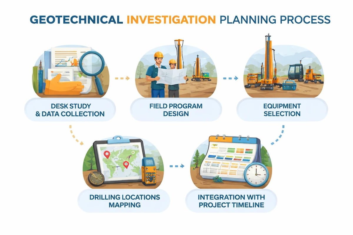
Planning Your Investigation Strategy
Effective planning starts with desk studies that compile existing geological maps, historical site data, and previous environmental assessments. This preliminary research identifies knowledge gaps and informs field investigation design.
Investigation depth depends on anticipated foundation loads and soil conditions. Engineers typically extend borings to depths that exceed the zone of stress influence beneath proposed foundations. For shallow foundations, this might mean 6 to 15 meters, while deep foundation systems require investigations extending well below anticipated pile tips.
| Investigation Phase | Key Activities | Typical Duration |
|---|---|---|
| Preliminary Assessment | Desk study, site reconnaissance, scope definition | 1-2 weeks |
| Field Investigation | Drilling, sampling, in-situ testing | 1-4 weeks |
| Laboratory Testing | Soil classification, strength testing, chemical analysis | 2-6 weeks |
| Reporting | Data analysis, recommendations, design parameters | 2-3 weeks |
Field Investigation Methods
Field investigations employ various techniques to gather subsurface data. The selection of appropriate methods depends on project requirements, budget constraints, and site accessibility.
Borehole Drilling Techniques
Rotary drilling represents the most versatile method for creating boreholes in diverse soil and rock conditions. This technique uses rotating drill bits with circulating fluid to advance holes and retrieve samples. Hollow-stem auger drilling proves particularly effective in cohesive soils and allows sampling through the auger's center without casing.
Cable tool drilling, while less common today, remains valuable for specific applications where sample disturbance must be minimized. This percussion method systematically breaks and removes material using a heavy chisel bit.
Key sampling approaches include:
- Disturbed samples for classification and index testing
- Undisturbed samples using thin-walled Shelby tubes for strength testing
- Rock core samples for intact rock characterization
- Bulk samples for large-scale compaction or aggregate testing
In-Situ Testing Programs
The cone penetration test has revolutionized subsurface investigation by providing continuous profiles of soil behavior. This method pushes a cone-shaped penetrometer into the ground at a controlled rate while measuring tip resistance, sleeve friction, and pore pressure. The resulting data helps classify soil types, estimate strength parameters, and identify stratigraphic boundaries with exceptional resolution.
Standard Penetration Tests (SPT) remain the most widely used in-situ method globally. This procedure drives a split-barrel sampler 450mm into soil using a 63.5 kg hammer dropping 760mm. The blow count required for the final 300mm of penetration correlates with soil density and strength.
Vane shear testing directly measures undrained shear strength in soft to medium clays. Field engineers rotate a four-bladed vane inserted into the soil and record the torque required to cause failure. This method proves invaluable for assessing foundation bearing capacity in cohesive deposits.
Laboratory Testing and Analysis
Laboratory programs transform field samples into quantifiable engineering parameters. Testing protocols follow standardized procedures ensuring consistency and reliability across projects.
Classification and Index Properties
Initial classification tests establish fundamental soil characteristics. Moisture content testing determines the weight ratio of water to solids, while grain size analysis through sieving and hydrometer testing categorizes particle distribution. Atterberg limits testing on fine-grained soils measures plasticity characteristics that govern behavior under varying moisture conditions.
These index properties feed directly into soil classification systems. The Unified Soil Classification System (USCS) groups soils based on grain size and plasticity, providing a common language for geotechnical communication.
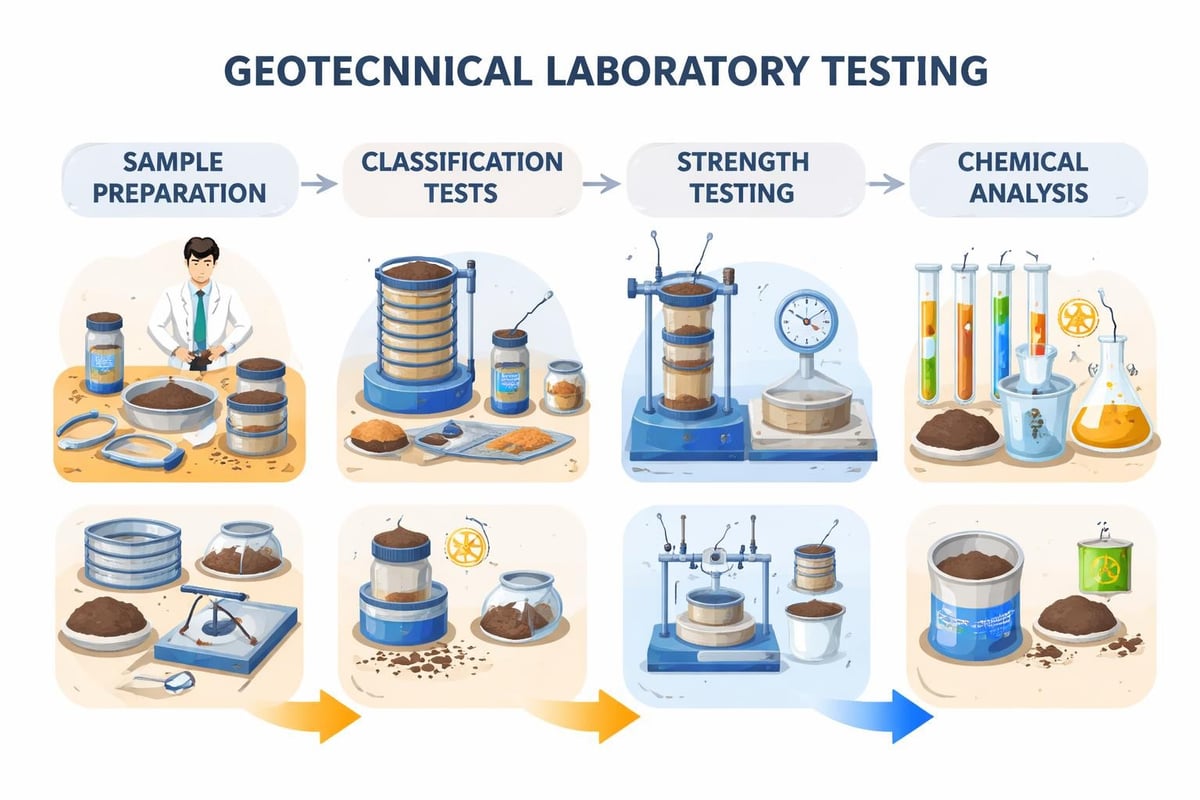
Strength and Consolidation Testing
Unconfined compression tests measure the compressive strength of cohesive soils without lateral confinement. Triaxial testing, considered the most versatile strength test, subjects cylindrical specimens to controlled stress conditions while measuring deformation and pore pressure response. These tests determine critical parameters including cohesion, friction angle, and stress-strain relationships.
Consolidation testing evaluates how soils compress under sustained loading. One-dimensional consolidation tests load soil specimens incrementally while measuring settlement over time. This data predicts long-term settlement magnitudes and rates critical for foundation design.
| Test Type | Purpose | Common Applications |
|---|---|---|
| Unconfined Compression | Quick strength estimate | Preliminary clay strength assessment |
| Triaxial Testing | Comprehensive strength parameters | Critical foundation design, slope stability |
| Consolidation | Settlement prediction | Building foundations, embankment design |
| Direct Shear | Interface friction | Retaining wall design, slope analysis |
| Permeability | Drainage characteristics | Dewatering design, seepage analysis |
Specialized Investigation Techniques
Complex sites and unique project requirements sometimes demand specialized investigation methods beyond conventional approaches.
Geophysical Methods
Seismic refraction surveys measure the velocity of elastic waves traveling through subsurface materials. Variations in wave velocity help identify layer boundaries, bedrock depth, and material quality without drilling. This non-invasive technique proves particularly cost-effective for preliminary reconnaissance over large areas.
Ground-penetrating radar (GPR) uses electromagnetic pulses to image shallow subsurface features. While depth penetration limits its application to the upper 10-15 meters in most soils, GPR excels at locating utilities, voids, and buried structures that could impact construction.
Electrical resistivity imaging creates two-dimensional cross-sections of subsurface electrical properties. This method helps delineate contaminated zones, map groundwater, and identify soil variability across sites.
Environmental Considerations
Geotechnical engineering services increasingly integrate environmental assessment protocols. Soil sampling for chemical analysis identifies contamination from historical land uses, petroleum products, or industrial activities. These findings inform remediation strategies and regulatory compliance.
Groundwater monitoring wells installed during geotechnical investigations serve dual purposes. Beyond establishing water table elevations for foundation design, they enable ongoing water quality monitoring and hydraulic conductivity testing.
Data Interpretation and Reporting
Raw field and laboratory data transforms into actionable engineering recommendations through systematic interpretation and analysis.
Stratigraphic Profiling
Geotechnical engineers develop stratigraphic profiles by correlating soil layers between boring locations. This subsurface visualization identifies lateral variability and establishes representative soil profiles for design. Cross-sections oriented along critical structural alignments prove particularly valuable for linear projects like roadways or pipelines.
Statistical analysis of test results accounts for natural soil variability. Engineers consider spatial correlation, sample quality, and testing precision when establishing characteristic values for design parameters.
Design Parameter Recommendations
Investigation reports must translate test data into practical design values. For foundation design, this includes bearing capacity recommendations, settlement estimates, and seismic site classification. The Federal Energy Regulatory Commission guidelines provide valuable frameworks for developing comprehensive geotechnical recommendations.
Slope stability analyses require shear strength parameters derived from laboratory testing and back-calculation of existing slopes. Retaining wall design demands lateral earth pressure coefficients based on soil classification and compaction specifications.
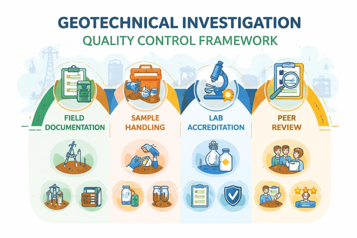
Regulatory Framework and Standards
Geotechnical site investigations in Canada follow established standards ensuring quality and consistency. While specific requirements vary by province and municipality, fundamental principles remain consistent.
The California Department of Transportation’s comprehensive guidelines offer detailed technical procedures applicable across jurisdictions. These protocols cover investigation planning, fieldwork execution, laboratory testing, and reporting requirements that align with industry best practices.
British Columbia follows BS 5930:2015, the UK code of practice for site investigations, which provides guidance on technical matters including soil and rock description. European projects reference Eurocode 7 for geotechnical design philosophy and ground investigation requirements.
Alberta-specific considerations include:
- Municipal development permit requirements
- Provincial environmental regulations
- Building code compliance for foundation design
- Worker safety regulations during field operations
Cost-Benefit Analysis
Investment in thorough geotechnical site investigations delivers substantial returns through risk reduction and optimized design. Inadequate investigations often lead to costly construction delays, foundation modifications, and potential structural failures.
Investigation costs typically represent 0.5% to 2% of total project budgets, with percentages decreasing for larger projects. This modest investment provides insurance against unforeseen subsurface conditions that could increase construction costs by 10% to 50% or more.
Value Engineering Through Investigation
Comprehensive subsurface knowledge enables engineers to optimize foundation systems. A site might initially appear to require expensive deep foundations, but detailed investigation could reveal competent bearing strata at shallower depths, allowing more economical spread footings.
Earthwork quantities benefit significantly from accurate soil characterization. Understanding cut-fill balance potential and material suitability for reuse as structural fill minimizes import and export costs. Specialized services like soil stabilization and ground improvement become viable when investigation data identifies specific treatment opportunities.
| Investigation Investment | Typical Benefits | Risk Mitigation |
|---|---|---|
| Adequate drilling density | Accurate soil profiles | Reduces construction surprises |
| Comprehensive lab testing | Optimized foundation design | Prevents over-conservative design |
| Groundwater monitoring | Informed dewatering planning | Avoids water-related delays |
| Environmental screening | Early contamination detection | Prevents regulatory violations |
Emerging Technologies and Innovations
The geotechnical investigation field continues evolving with technological advancements that improve efficiency, accuracy, and safety. Digital data collection systems now integrate directly with drilling equipment, capturing real-time parameters and eliminating transcription errors.
Remote sensing technologies including LiDAR and satellite-based InSAR provide valuable reconnaissance data before field mobilization. These tools identify ground movement patterns and topographic features that inform investigation planning.
Recent research into bio-inspired site characterization techniques explores developing lightweight equipment for geotechnical investigations in challenging environments. These innovations could expand investigation capabilities while reducing environmental impact and mobilization costs.
Machine learning applications increasingly support data interpretation. The SoilGen framework demonstrates how synthetic soil profile generation facilitates geotechnical analysis through large-scale model libraries, potentially reducing testing requirements for certain applications.
Integration with Project Delivery
Successful geotechnical site investigations align with overall project schedules and delivery methods. Early investigation during preliminary design phases informs site selection, layout optimization, and budgeting. Additional investigations during detailed design refine parameters and address specific foundation or earthwork questions.
Construction-phase investigations sometimes become necessary when conditions differ from design assumptions. Proof testing of foundations, fill compaction verification, and observation of excavated materials validate design assumptions and trigger modifications when warranted.
Alternative project delivery methods like design-build or progressive design-build require flexible investigation strategies. Phased approaches balance early decision-making needs with cost-effective information gathering as project details crystallize.
Communication and Stakeholder Coordination
Investigation findings must reach all project stakeholders in accessible formats. Executive summaries distill complex technical data into key takeaways for owners and decision-makers. Detailed appendices provide engineers and contractors the comprehensive data needed for design and construction planning.
Three-dimensional subsurface models created from boring data help non-technical stakeholders visualize subsurface conditions. These visualizations prove particularly valuable during permitting processes and public consultations.
Comprehensive geotechnical site investigations form the essential foundation for successful construction projects across Alberta's diverse geological conditions. From initial planning through field execution, laboratory testing, and data interpretation, each investigation phase contributes critical knowledge that informs design decisions and mitigates construction risks. Whether your project involves shallow foundation inspection, specialized deep foundation piles, or culvert installation, understanding subsurface conditions ensures optimal outcomes. ZALIG Consulting Ltd delivers comprehensive geotechnical investigation services throughout Edmonton, Fort Saskatchewan, and Slave Lake, combining advanced testing capabilities with local expertise to support your project from concept through completion.